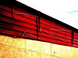
As often as we drove through here, some things were never photographed. I tried to correct that omission.
I have no idea what this structure is for, if anything anymore. On the opposite corner, early in our marriage, we found an abandoned bar/nightclub. We photographed it, then. Later, it suffered a fire and was partly destroyed and we photographed it again. It was known as Carl's Corner, by the way. We found it again when it was undergoing demolition and more photos were taken. All of those photos are on this blog. Just look through older posts. It was during that time of demolition that we found a limestone slab crudely engraved: "Fort Griffen". Now, my wife, during her second marriage, had visited Fort Griffen in East Texas-- there was a museum there and the fort was mostly restored. We took the stone slab home with us and contacted the curator at Fort Griffin. In a few weeks he arrived with his wife and son to collect the slab and try to solve the mystery of how it got here. I took them to the site of Carl's Corner and we did some exploration. As far as I know the mystery has not been solved.
Traveling north on MLK I got off on a really bad dirt road that led to a dead end. Huge holes and deep ruts. It gave my car a workout! I photographed more boonie-type structures.
This is pretty typical of what you find out in the county, outside the city limits, especially on the east side of town.


